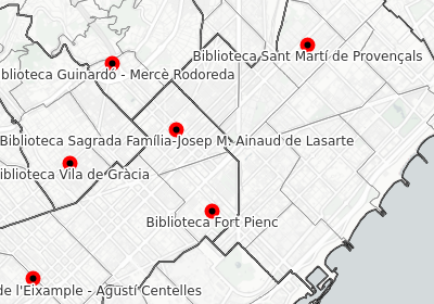
This introductory course to Openlayers teaches people basic concepts of web maps and GIS.
It introduces into concepts like coordinate systems, tile pyramides and projections. We work different types of layers, with a special enphasis on vector layers using GeoJSON and TopoJSON and applying styles to points, lines and polygones.
We make pratical examples on basic Openlayer classes like Controls, Overlays, Animations and Interactions. Later on we use some popular plugins and do some basic examples on vector tiles.
Client: Barcelona Activa
Github repository