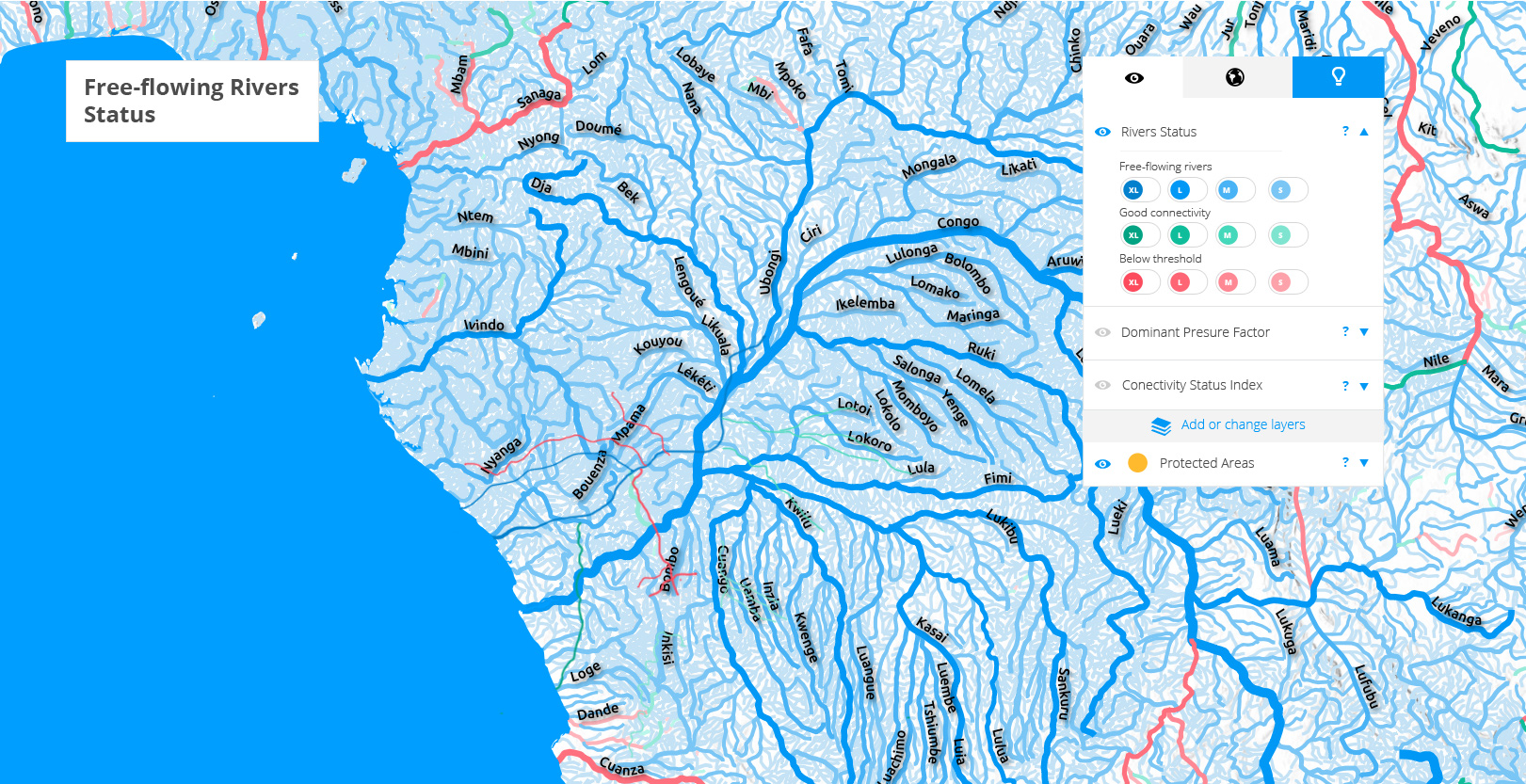
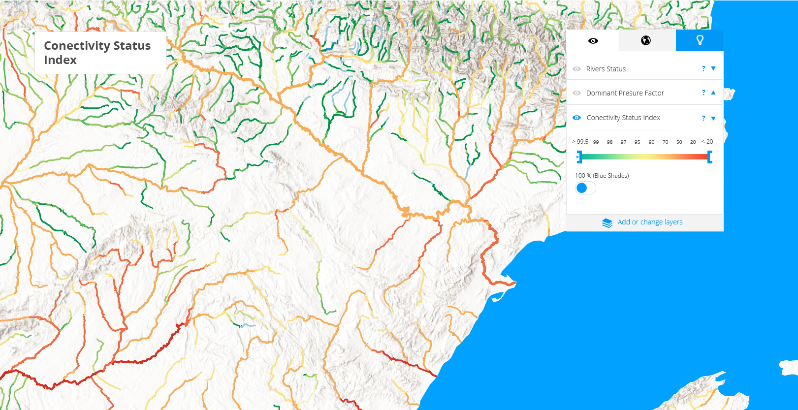
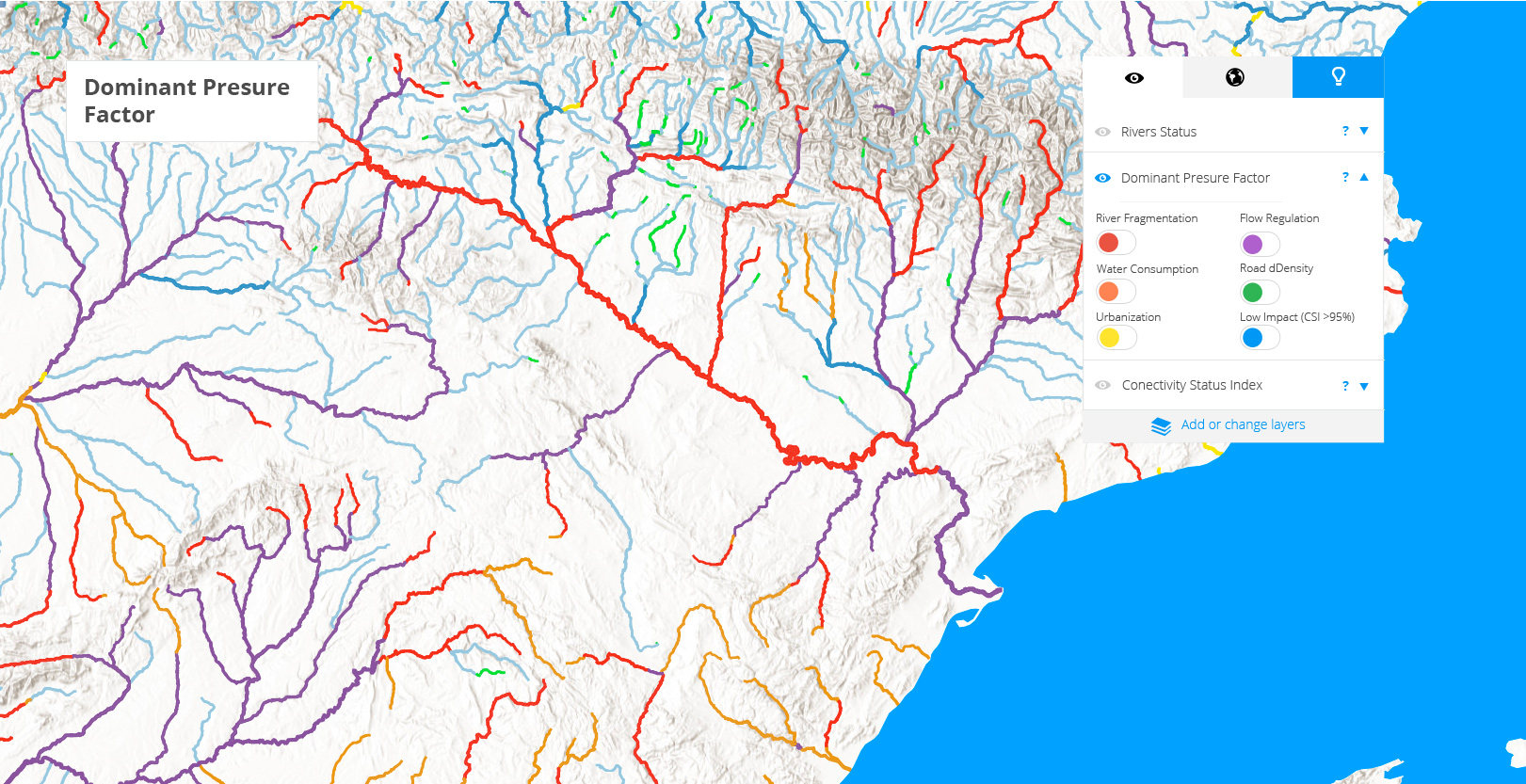
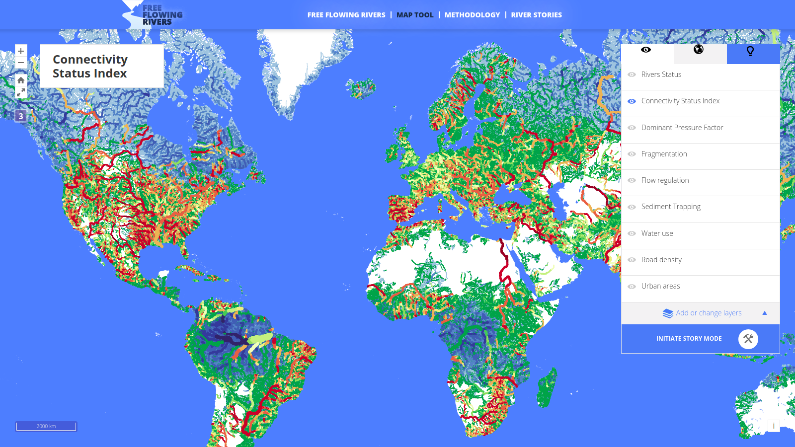
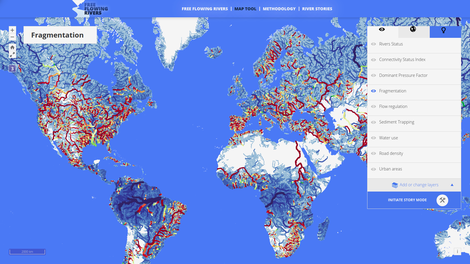
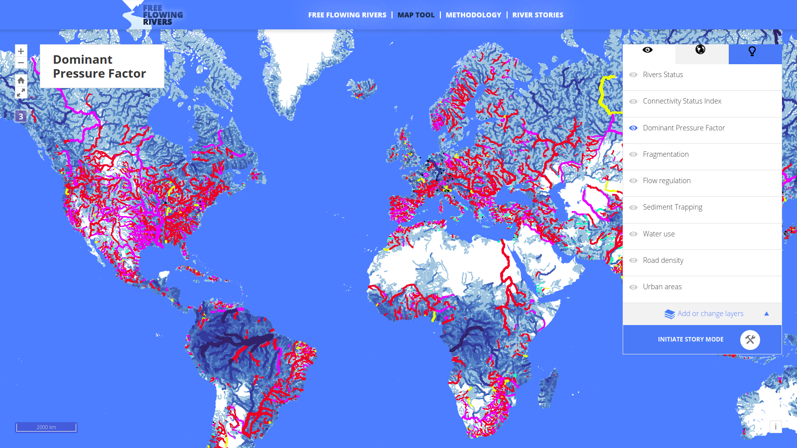
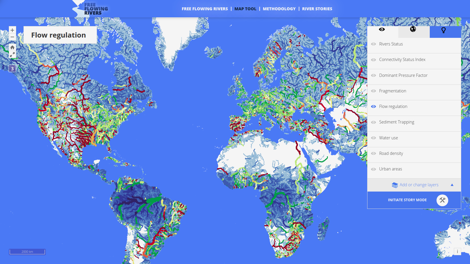
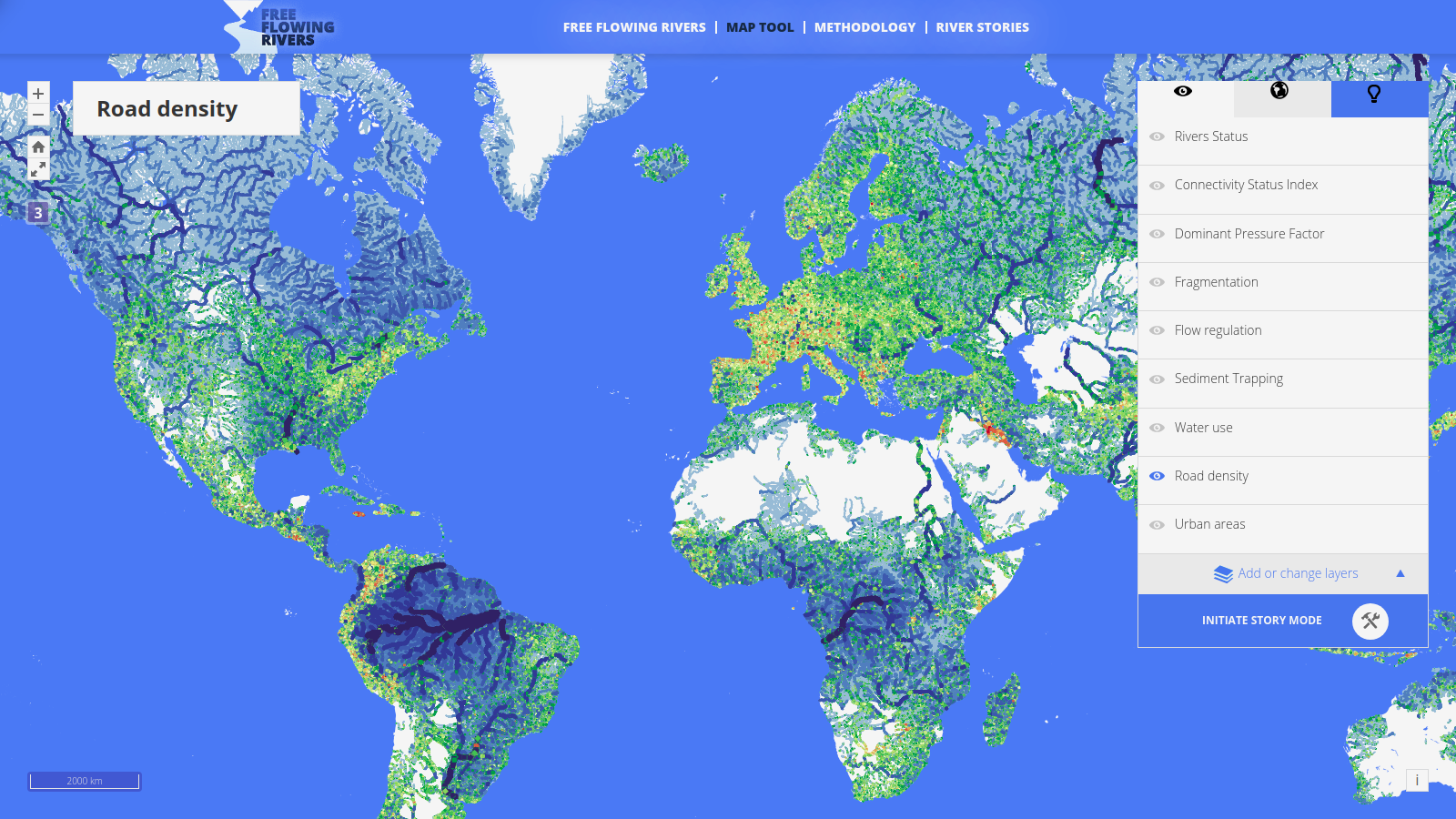
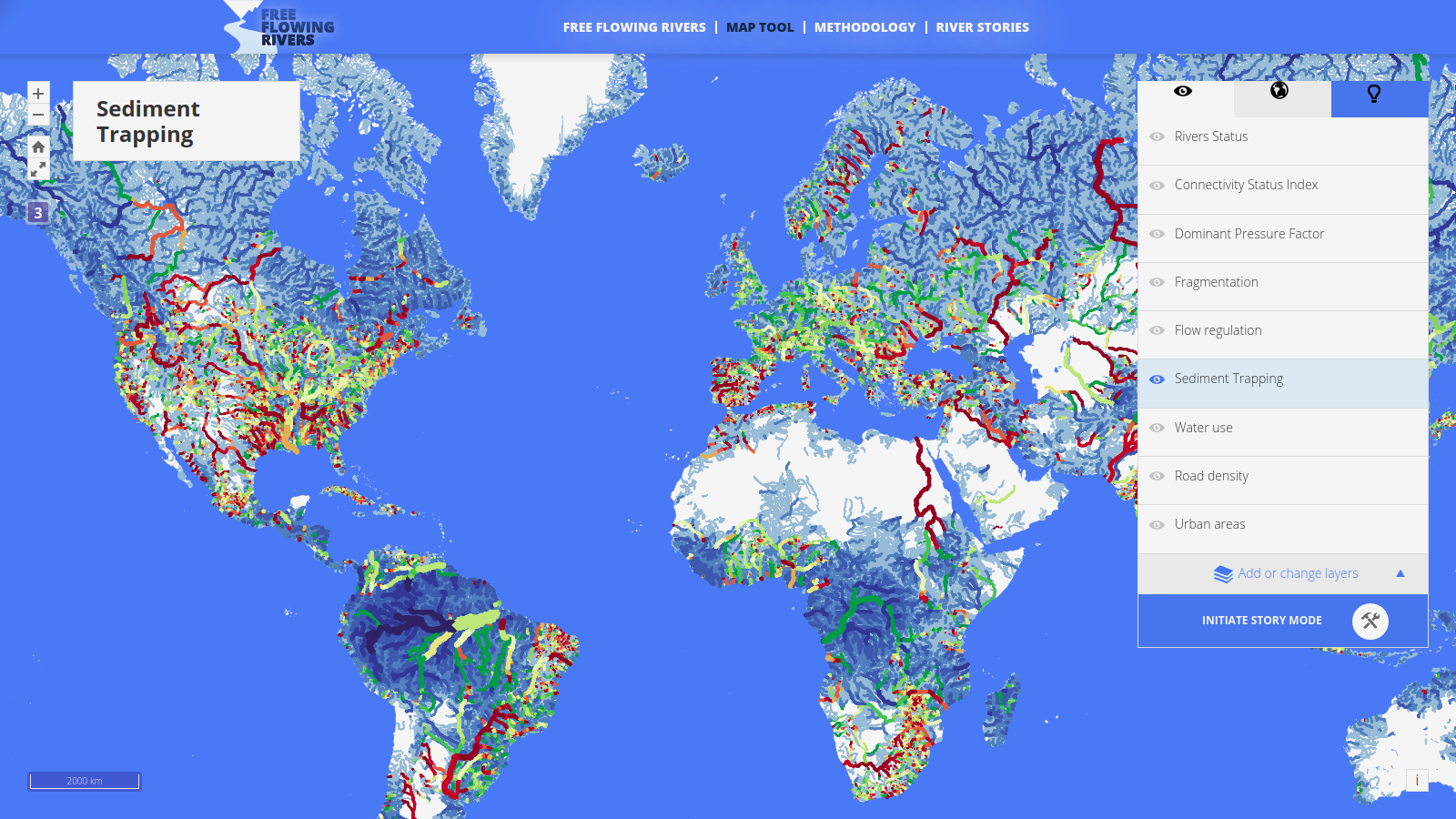
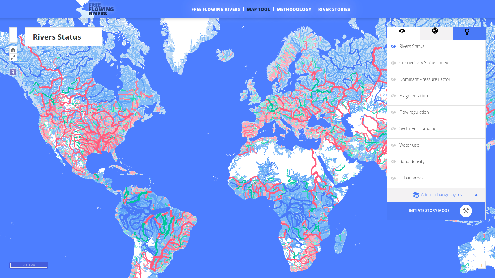
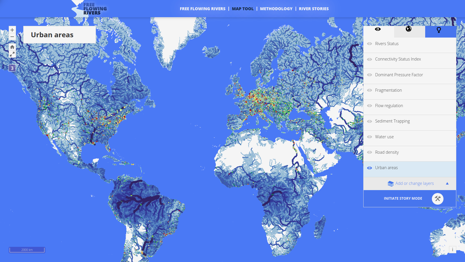
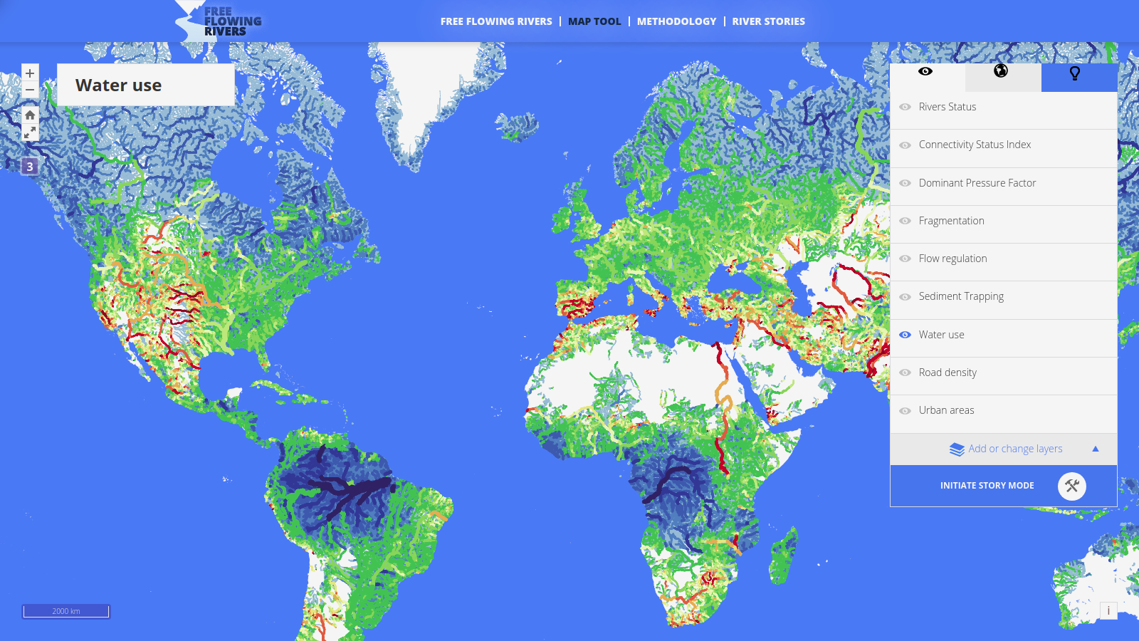
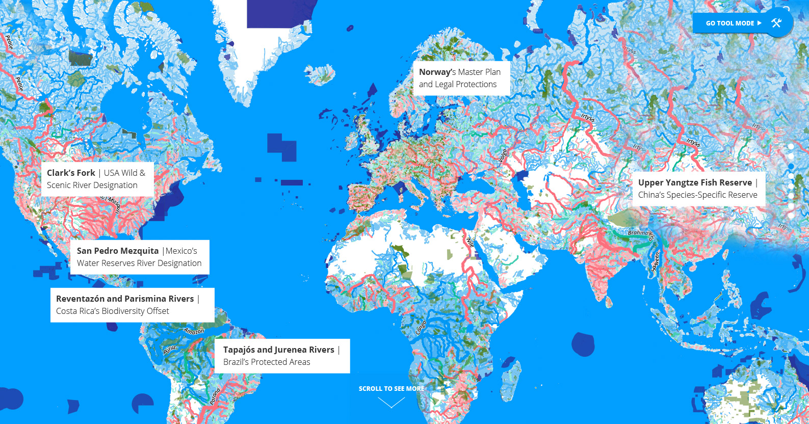
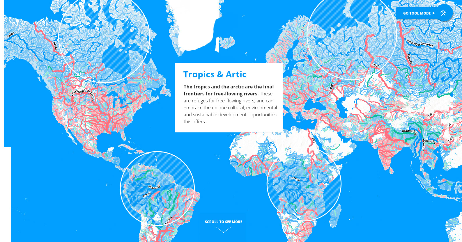
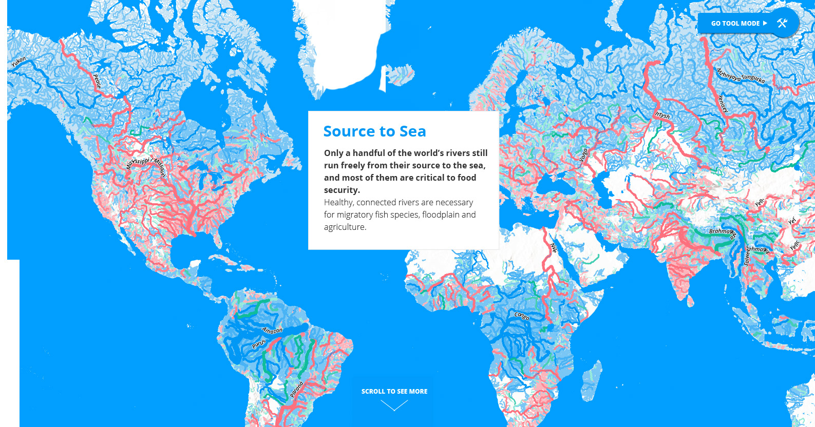
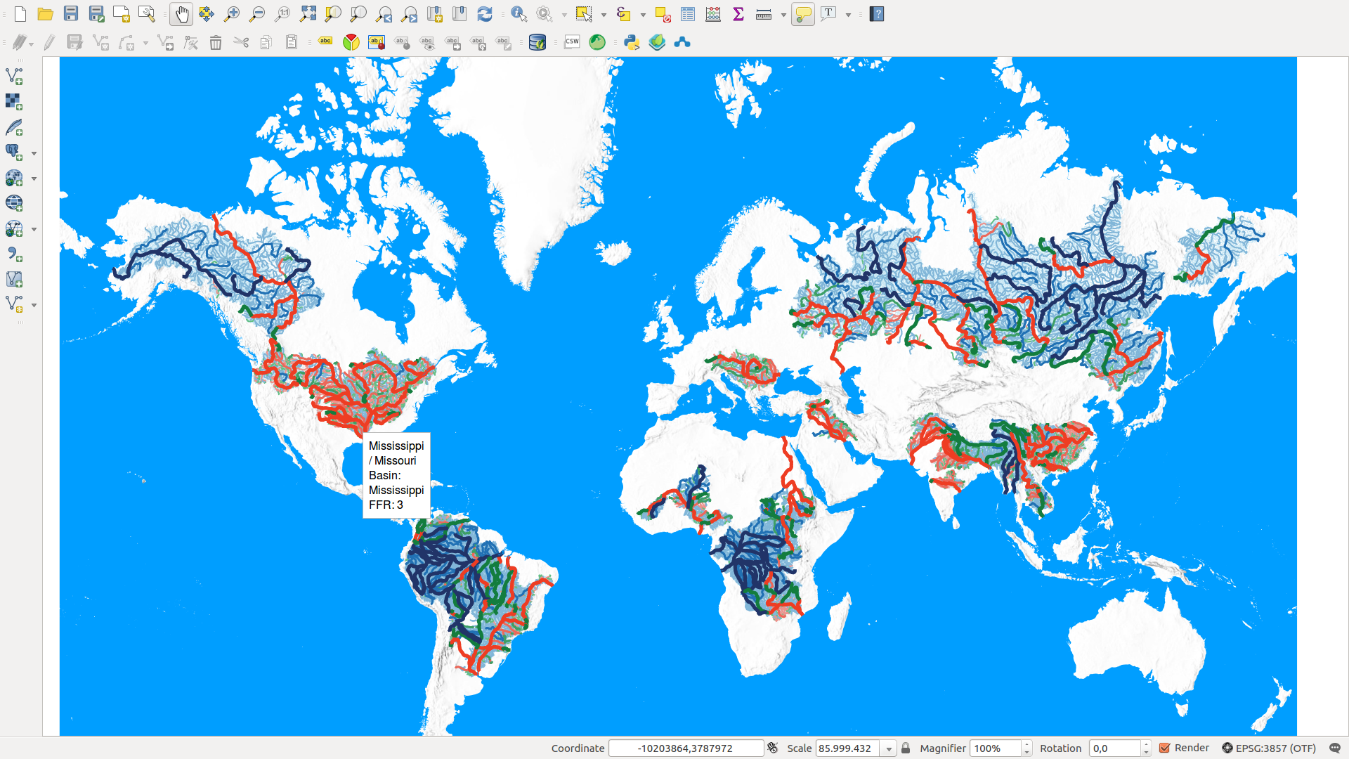
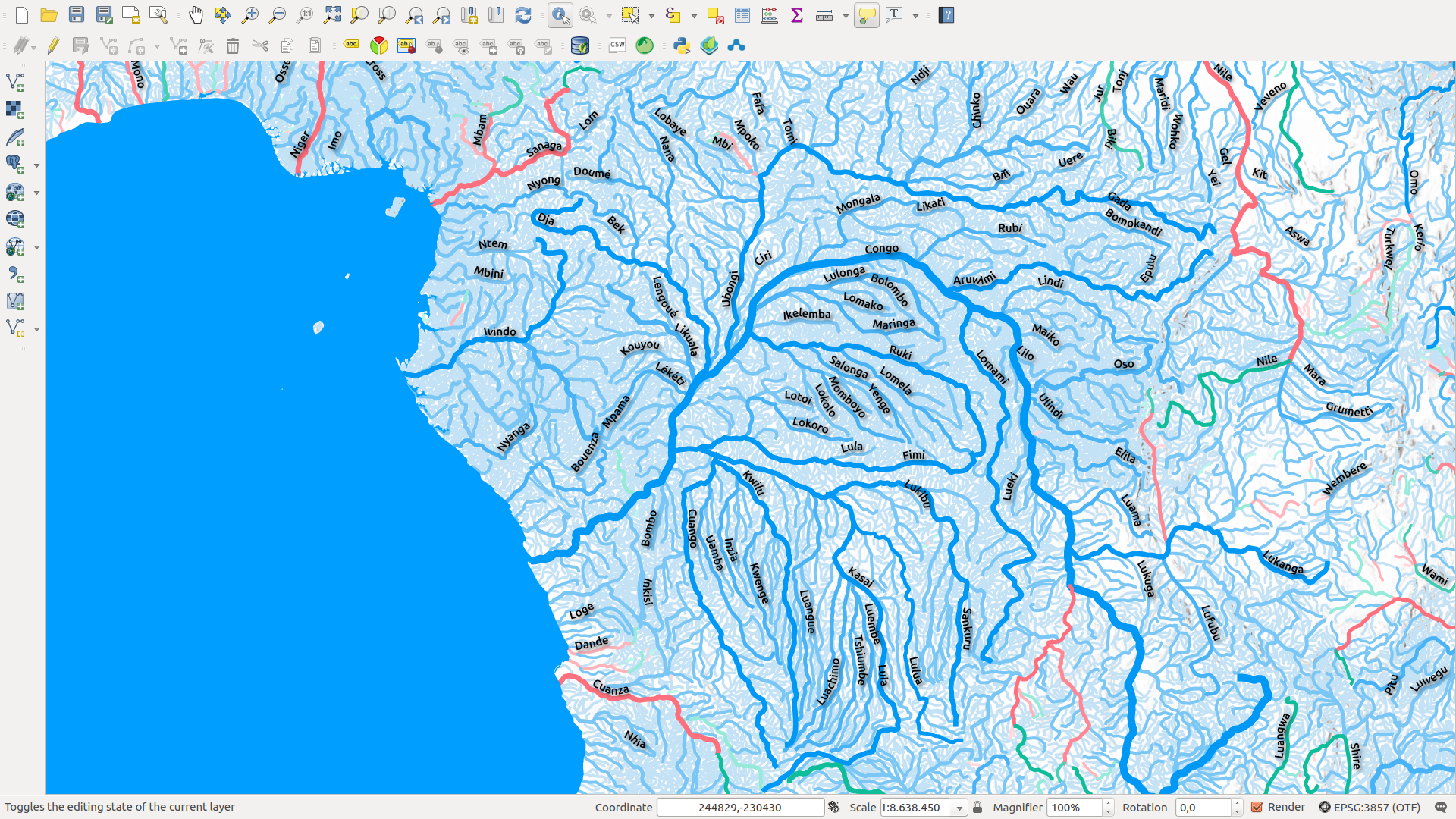
This mapping interface provides a viewer of the results from the Nature article entitled: "Mapping the world’s free-flowing rivers" (Grill et al. 2019). The site provides a zoomable map interface for visualizing the three main data layers developed and analyzed in the article.
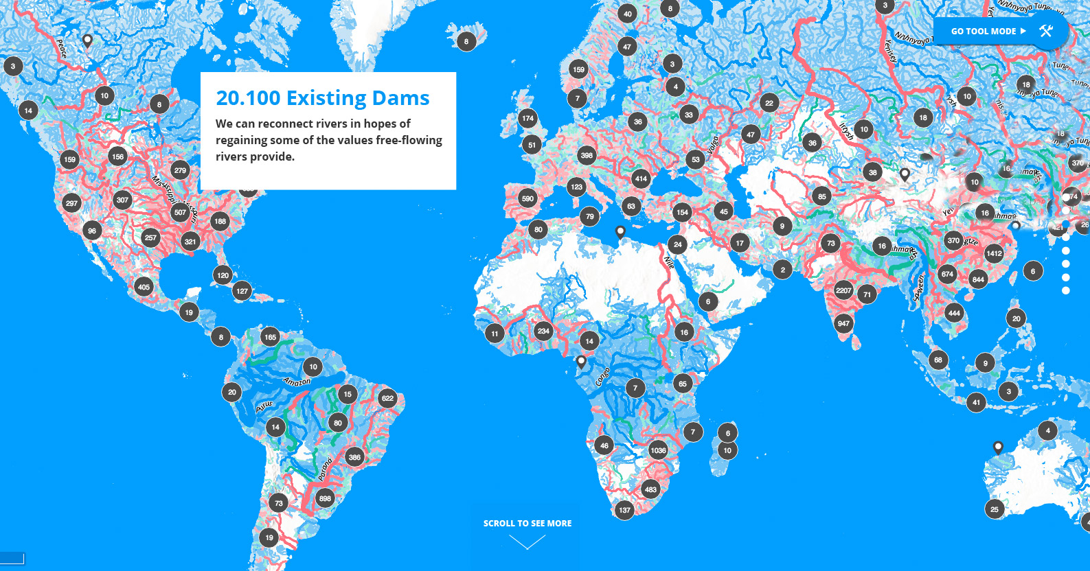
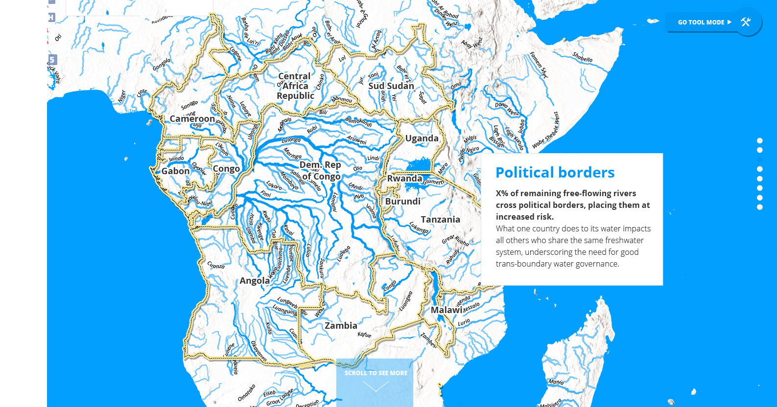
Very long FFRs are largely restricted to remote regions of the Arctic and of the Amazon and Congo basins. In densely populated areas only few very long rivers remain free-flowing, such as the Irrawaddy and Salween. Dams and reservoirs and their up- and downstream propagation of fragmentation and flow regulation are the leading contributors to the loss of river connectivity. By applying a new method to quantify riverine connectivity and map FFRs, we provide a foundation for concerted global and national strategies to maintain or restore them.
Client: WWF, OneBigRobot