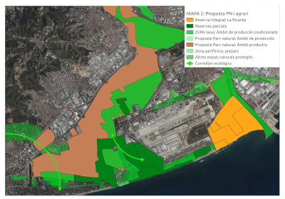
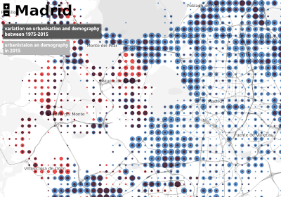
Natural Parc of Llobregat Delta
Proposal for a new natural and agricultural parc of Llobregat Delta.
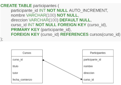
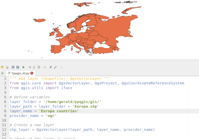
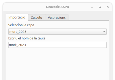
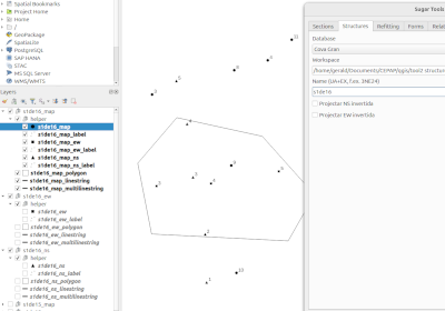
Workshop pyqgis
Programming Python in QGIS (pyqgis). Introduction to pyqgis and programming QGIS plugins.
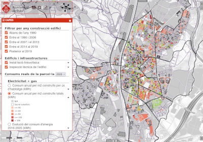
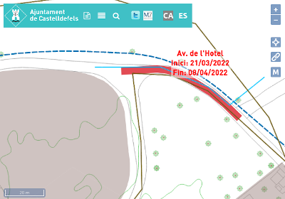
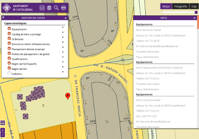
Portal Rubí Eficient
Interactive map with information about annual consumption of electricity, gas and water of each plot of Rubí.
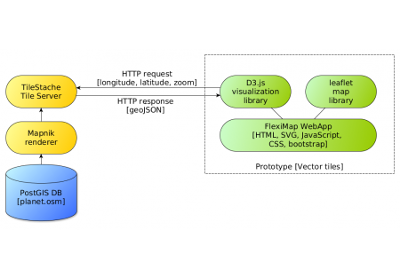
Wordpress4Mapping
Simple software solution for basic mapping tasks based on Wordpress and Openlayers.
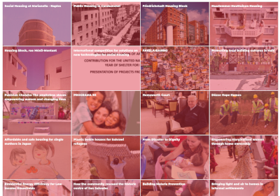
Data Housing Atlas AHA
First global atlas of examples of decent, adequate and affordable housing.
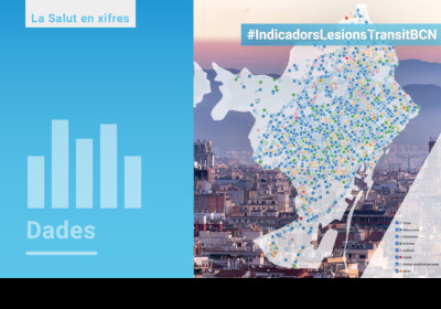
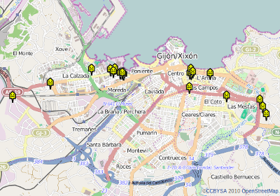
Collisions Data Dashboard
Data dashboard showing collisions and mobility injuries of the city of Barcelona.
Geopark Origens Touristic Map
Touristic map for UNESCO Geopark at the Catalan Pyrenees.
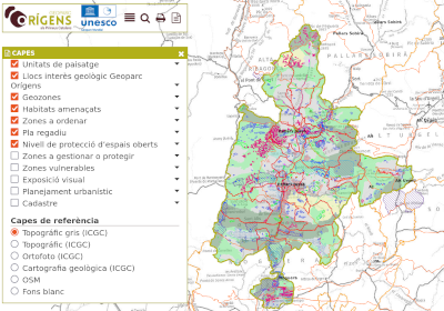
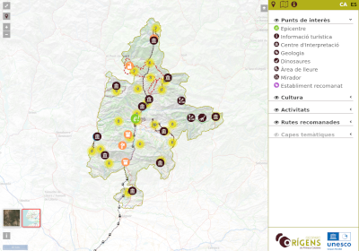
Geopark Origens Tecnical Planning
Internal tecnical planning map for UNESCO Geopark at the Catalan Pyrenees.
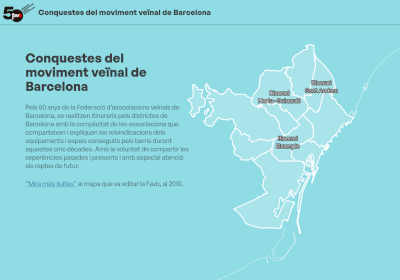
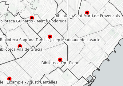
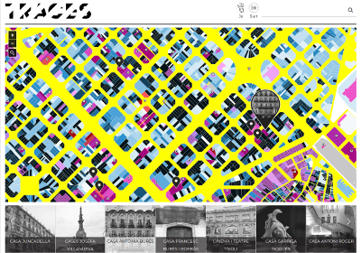
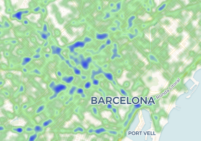
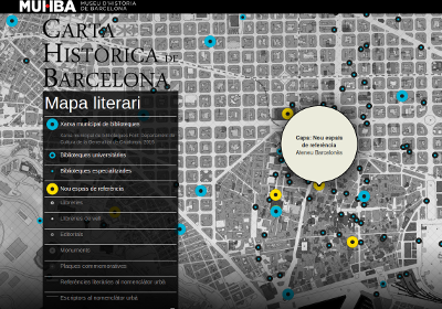
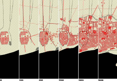
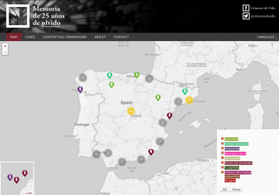
Barcelona Itineraries
Mapping 50 years of archivements of the neightbourhood movement.
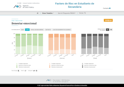
Risk Factors in highschool students
Highschool survey from Barcelona public health agency.
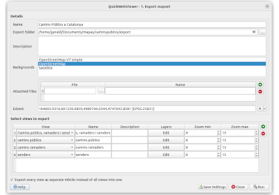
Workshop Openlayers
Introductory course to Openlayers teaching basic concepts of web maps and GIS.
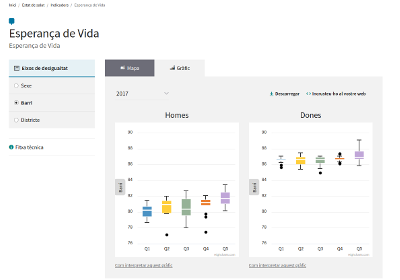
Health and Policy Impact Observatory
The Observatory monitors health inequalities and evaluates the health impacts of policies.
Solivid map
SOLIVID is a collective project for the elaboration of a collaborative map about the solidarity initiatives in face of the COVID-19.
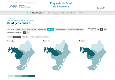
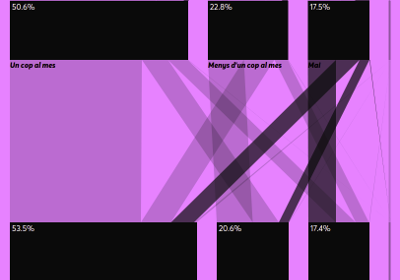
Barcelona Health Survey
Visualizing results of reports from Barcelona public health agency.
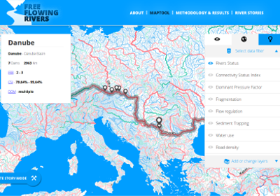
Free-Flowing rivers
This map tool shows the freshwater equivalent of wilderness areas.
Cartography — Space as Data
Teaching foundations module at Master Data Design at Elisava.
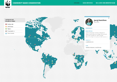
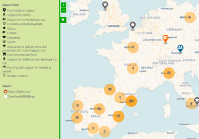
WWF Community Conservation Portal
Mapping effort to understand community-based conservation work.
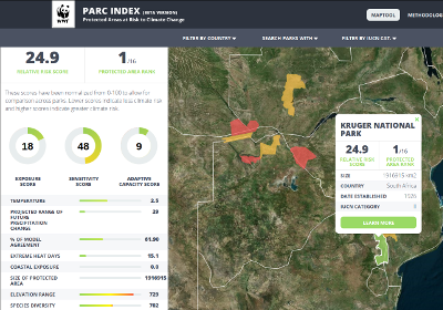
WWF Parc Index
The PARC Index is a comparative risk index that measures the relative climate risk to protected areas.
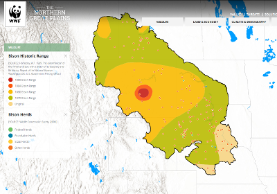
The Northern Great Plains Maps
Maps and figures about the Northern Great Plains ecosystem.
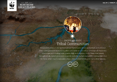
The Journey of Water
Follow the water from the Rockies into the Northern Great Plains.
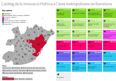
Catalog of political innovation
Tool to visualize urban politics in area of Barcelona.
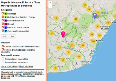
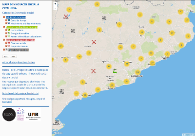
Map of social innovation
Colaborative map of innitiatives working on political innovation.
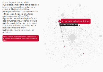
Decidim PAM Barcleona
Visualizing the participatory process of the municipal action plan.
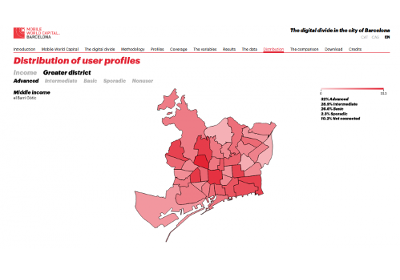
Digital divide in Barcelona
A report on Barcelonans ICT access, use, and the quality of their use.
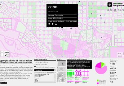
geographies of innovation
This research explores innovative initiatives in Barcelona.
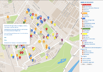
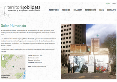
Recursos Polígono Sur
Map of public, private and commons resources at Polígono Sur/Sevilla.
Barris i Crisi
A research about the effects and social consequences of the crisis, and the responses to this situation from the neighbourhoods.
Marianao
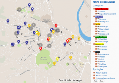
Map of common goods of Marianao neighbourhood at Sant Boi de Llobregat/Spain.
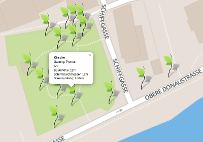
Linz Pflückt
Map of more than 2000 public fruit trees and community gardening projects at Linz/Austria.